Introduction: Tech at High Altitudes
For many years, exploring Nepal meant using paper maps and compasses. People often had to ask locals for directions. Now, in 2026, things have changed. The term Digital Sherpa has become common. Trekking at high altitudes brings certain problems. The cold drains batteries. Valleys block GPS signals. Cellular data is absent in many nice areas.
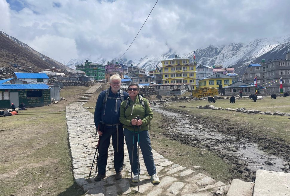
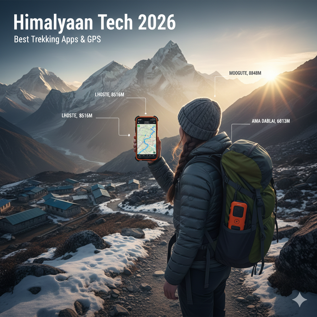
Going through the Himalayas differs from a simple hike. Here, a wrong turn can lead to trouble such as crossing a dangerous pass in bad weather or missing the last stop before night. In 2026, better apps and GPS devices address these issues. They have detailed offline maps, satellite SOS features, and tools that use augmented reality to name peaks.
The 2026 Himalayan Tech Kit: Key Things
Before discussing apps, remember these important rules for using tech on trails in Nepal:
- Offline First: Expect to have no data after leaving certain towns. Any app should allow map downloads.
- Battery Life: Cold weather cuts battery life. Your tech depends on having enough power.
- Backups: Don’t count on just your phone. Bring a GPS device or a paper map as a backup.
🏔️ Top Navigation Apps for Nepal Treks (2026)
- Gaia GPS: The Pro’s Choice
Gaia GPS is still a top choice for serious hikers in 2026. While other apps focus on reviews, Gaia focuses on data.
- Good For: Long trips to remote places.
- The 2026 Advantage: Gaia has a Himalayan Layer. It combines official data with trail updates from other hikers.
Why it’s good in Nepal: It lets you match satellite images with lines showing elevation. This helps you see where landslides may have changed a trail.
- Maps.me: The Solid Backup
Maps.me has been popular for years. The 2026 version works faster and uses less storage.
Good For: Well-known routes.
The 2026 Advantage: This app uses less power, which helps save battery life.
Why it’s good in Nepal: It includes many useful points. Users mark places like teahouses and water sources.
- AllTrails: The Community Pick
AllTrails helps you learn about current trail conditions. Find out if a bridge is broken or if a teahouse is open.
Good For: Beginners and getting trail updates.
The 2026 Advantage: The paid version has 3D previews. You can see your route ahead of time. This supports imagining the steep climbs in Nepal.
Why it’s good in Nepal: Many users share recent photos, allowing you to see conditions.
- PeakVisor: The Identifier
Ever wonder about the names of different peaks? PeakVisor uses your camera and GPS to name them.
Good For: Taking photos and naming mountains.
The 2026 Advantage: It can create 3D images offline.
Why it’s good in Nepal: It makes hiking more educational by naming distant peaks.
- 🛰️ Beyond Apps: GPS Devices in 2026
Apps are helpful, but phones can break. In 2026, many hikers use separate GPS devices for safety. - Garmin inReach Mini 2: This acts as life insurance. It sends texts by satellite when you lack cell service. The SOS button connects you to search and rescue teams.
- Garmin GPSMAP 67i: This combines a GPS with inReach tech. Its battery lasts for as long as 180 hours in GPS mode.
- Coros Vertix 2S: This watch is popular in 2026. It lasts for up to 60 days on a charge. It also checks your oxygen levels.
⚡ The 2026 Himalayan Battery Tips
Navigation tech is useless without power. Keep your devices working well in the cold with these tips:
- Body Heat: Keep your phone close to your body to keep it warm. At night, store your devices in your sleeping bag.
- Flight Mode: Your phone wastes energy searching for cell signals. Use Flight Mode with GPS to save power.
- Power Banks: Teahouses may charge money to charge devices. Bring a good power bank to save money and trouble.
Conclusion: Tech and Tradition
Tech in the Himalayas can pose a challenge. It helps with safety, but it shouldn’t take away from appreciating nature. Use apps to check your location, but remember to look around. Sometimes, help comes from locals who know the paths well.